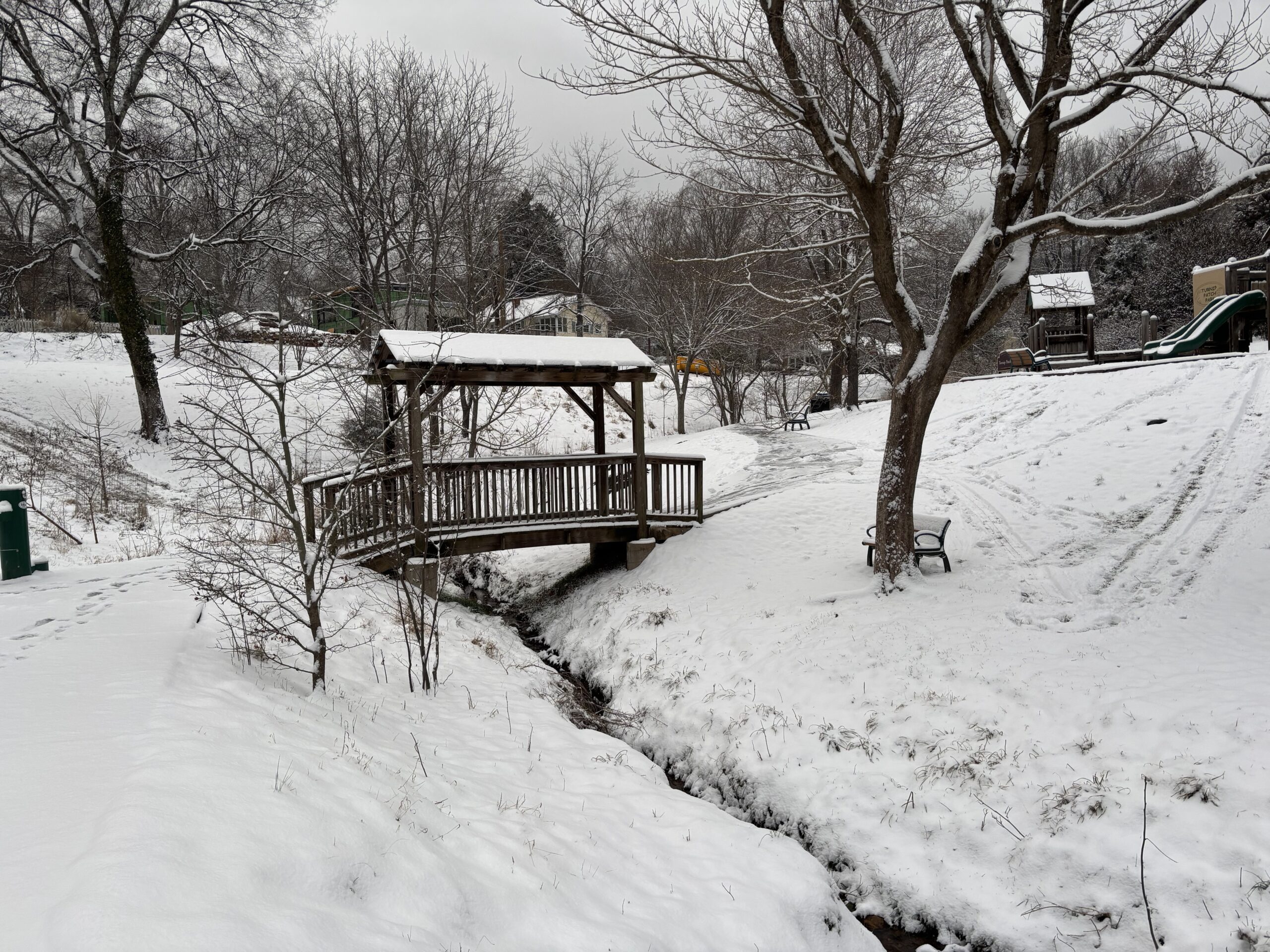
The Triangle is still recovering from last week’s ice storm, but we’re about to get another round of winter weather this weekend. This time it’s going to be snow: forecasters are calling for about 4-8 inches of snow on Saturday, January 31, though that accumulation total could still fluctuate in either direction.
The National Weather Service has issued a Winter Storm Warning for the weekend, starting at 4 p.m. Friday, January 30, and running through 7 a.m. Sunday, February 1. In addition, the NWS has also issued a Cold Weather Advisory for Saturday and an Extreme Cold Watch for Saturday night; that’s because meteorologists are expecting the wind chill to dip into the single digits or even below zero. (Orange County is opening a cold weather shelter this weekend at the Seymour Center, for anyone who needs it.)
97.9 The Hill’s Aaron Keck spoke Friday morning with NWS meteorologist Andrew Kren.
Click here to listen to their conversation. The transcript below has been edited lightly for clarity.
chapelboroaudio.s3.us-east-1.amazonaws.com/2026/01%20-%20January/30/NWS%20Andrew%20Kren%20-%20013026.mp3Aaron Keck: What are we expecting to see in the Triangle, and when are we expecting to see it?
Andrew Kren: We are expecting a range of about four to eight inches of snow by early Sunday morning. Snow will likely start late tonight, but probably the more impactful snow will develop overnight tonight and continue most of Saturday into Saturday night, and slowly taper off kind of around daybreak on Sunday. …We are (also) looking at the potential for 10 or more inches in localized areas around the Triangle, (though) it’s hard to pinpoint where some of those localized higher totals could occur right now. It’s a pretty impactful storm and very strong indeed.
Keck: And bringing some pretty cold weather too, right?
Kren: Yes, we have very cold wind chills expected – probably (in the) single digits tonight. Temperatures tomorrow (will) largely top out in the low 20s, but we will fall through the day and likely reach the teens overnight, and wind chills Saturday night could be below zero in some locations.
Keck: What do you anticipate the biggest impacts to be, and how long will those last?
Kren: With the roads, with the amount of snow expected and the very cold temperatures, it’s not going to take that much time for everything to stick on the roads. So travel could be very difficult or virtually impossible at times Saturday into Sunday. So if you must travel, make sure you have an extra flashlight, food and water in your vehicle in case of an emergency.
Keck: And what do we expect next week?
Kren: We expect cold temperatures to continue at least into the middle of next week, and we’re looking at another chance for some precipitation Wednesday, but (there’s) very low confidence at this point. Otherwise, we’re expecting the snow will stick around, with very cold temperatures into the middle of next week.
Featured photo by Kenny Dike.
Chapelboro.com does not charge subscription fees, and you can directly support our efforts in local journalism here. Want more of what you see on Chapelboro? Let us bring free local news and community information to you by signing up for our newsletter.
‘It’s a Pretty Impactful Storm’: Snow Arriving in the Triangle Saturday Chapelboro.com.
Hence then, the article about it s a pretty impactful storm snow arriving in the triangle saturday was published today ( ) and is available on chapelboro ( Middle East ) The editorial team at PressBee has edited and verified it, and it may have been modified, fully republished, or quoted. You can read and follow the updates of this news or article from its original source.
Read More Details
Finally We wish PressBee provided you with enough information of ( ‘It’s a Pretty Impactful Storm’: Snow Arriving in the Triangle Saturday )
Also on site :
- Iran war live: Washington, Tehran trade threats over Strait of Hormuz
- Palantir touts record expansion and ‘battlefield’ AI value
- Princess Diana Broke Royal Protocol With ‘Sensuous’ Met Gala Look 30 Years Ago: ‘So Liberated’

